Storm Surge Barriers Work
Storm surge barriers work—up to a point; that point being the surge height for which they are designed. But even when overtopped, experts are banking on the barriers mitigating the kind of run-away disaster that befell New Orleans during Hurricane Katrina in 2005. One thing is for sure, though. The absence of storm surge barriers can amount to no protections worthy of the name, as New York City learned Oct. 29 as Hurricane Sandy rolled ashore.
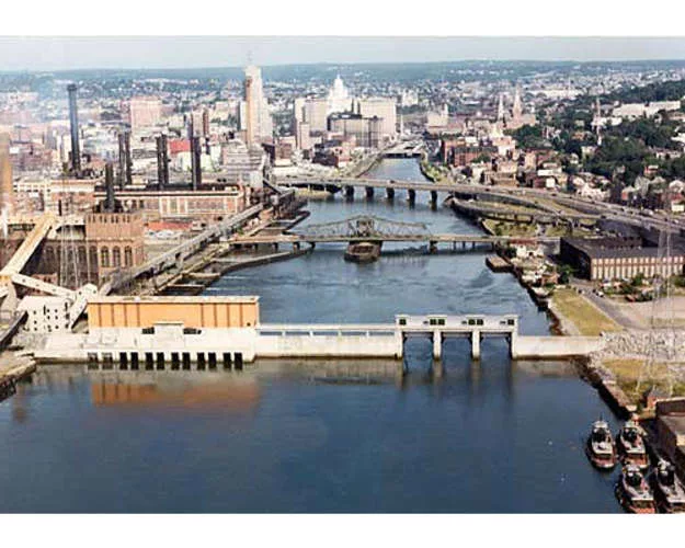
Exposed towns, cities and even nations, such as The Netherlands, have slowly and quietly been building up storm surge defenses to protect themselves for decades, averting millions of dollars in damages as a result. For example, Superstorm Sandy had swelled water levels to 9.5 feet as it approached Providence, R.I., but thanks to the Fox Point Hurricane Barrier, standing 26.7 feet high, that city avoided potentially millions in dollars in damages.
“I believe even if Providence had been hit directly, it would have been fine,” says John MacPherson, deputy manager for the U.S. Army Corps Engineers’ Cape Cod Canal Field Office. “When the Corps designed the project, they took meteorological readings [and planned for a] worst-case storm. The 1944 storm had the most energy off shore. They modeled that storm hitting Providence coming up the bay as a direct hit, and generated a water level to design for.”
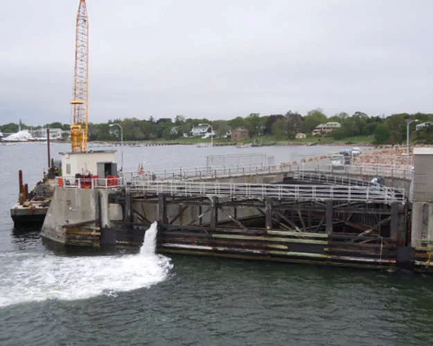
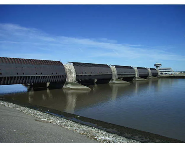
The 700-foot-long concrete barrier extends west across the Providence River. It includes three 40-foot-high, 40-foot-wide tainter gate openings that prevent floodwaters from entering the bay when closed. Two 10- to 15-foot-high earth-filled dikes with stone-protected slopes flank each side. The eastern dike is 780 feet long and the western dike is 1,400 feet long.
Built in 1966, for about $15 million, the barrier “has prevented loss of life and property time and again," says New England district spokesman Timothy Dugan. In fiscal year 2011, the Corps of Engineers staff operated the barrier for flood control on 12 occasions during coastal storms. Devastating events, including a 1938 storm with a surge of about 17 feet, prompted the city to ask the Corps to build the barrier, says MacDugan.
Because of a series of storms between 1849 and 1936, Congress passed a series of Flood Control Acts. The act of 1955 authorized construction of the Providence barrier. MacPherson says the city of Providence is responsible for operations and maintenance of components located outside the river banks, such as the dikes that flank each side and five vehicular street gates and five sewer gates. Five large pumps pass accumulated water back over the dam and back out to Narragansett Bay. The 55-foot-long pumps, 10 feet in diameter, can pass 630,000 gallons per minute.
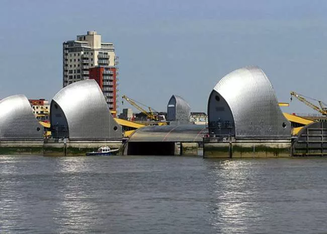
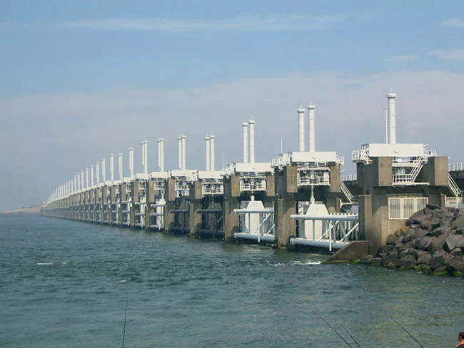
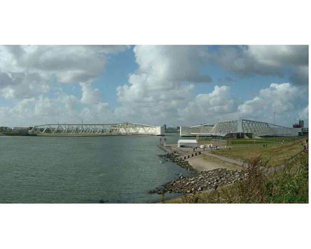
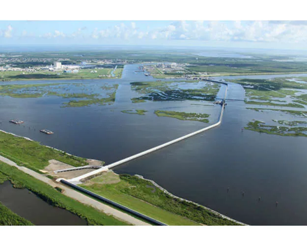
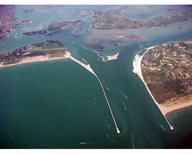
Jurisdictions that are blessed with natural landforms that limit areas of vulnerability to relatively short gaps between headlands have accomplished a lot of protection with a relatively modest bit of engineering and construction. But other jurisdictions, like New Orleans and the Netherlands, with long reaches of high exposure, and flat coasts riddled with bays, lakes, and lowlands, have been forced to build sprawling defenses to protect their economies and populations.
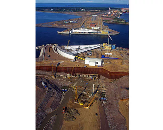
In most, if not all cases, the will to build storm surge defenses arose from the mud, death, and heartbreak of disasters, such as the flooding of the Dutch lowlands in 1953 or the catastrophe in New Orleans in 2005. The events in New Orleans spawned a new discipline for designing systems to protect large geographic areas from storm surge. Using now available super computing capabilities, scientists and engineers have, for the first time, begun not to rely on historic records to estimate worst-case scenarios, but on science and statistical-probability risk modeling of the storm surge -generating potential of the hurricane environment.